
Clear pricing for land, acreage, and development property.
This pricing is specifically for vacant land and lot photography. Rates are based on acreage, with aerial and ground-level drone imagery plus lot boundary graphics included.
Aerial, ground-level, and boundaries
One to two minutes
Exterior photos per structure
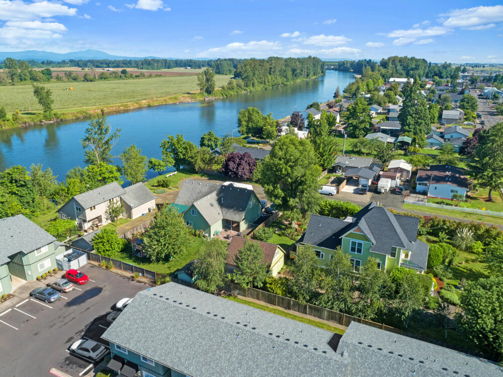
Looking for a different type of photography?
Mileage charges apply to projects outside our standard Corvallis, Salem, and Eugene service areas. Any applicable mileage is calculated during checkout.
Start with photography, then add the coverage the property needs.
Use the acreage table below for the photography tier. Video and structure coverage are available when the property needs more context.
Land Photography
- Aerial and ground-level drone imagery
- Lot boundary graphics included
- Up to 25 to 55 finished photos
Land Highlight Video
- One-to-two-minute highlight video
- Show access, surroundings, and terrain
- Selected in the live land cart
Structure Coverage
- Seven additional exterior photos per structure
- Useful for barns, shops, and outbuildings
- Select the structure quantity during booking
Prices shown reflect the current land booking cart. Acreage, selected add-ons, photographer availability, and applicable travel fees can change the final total.
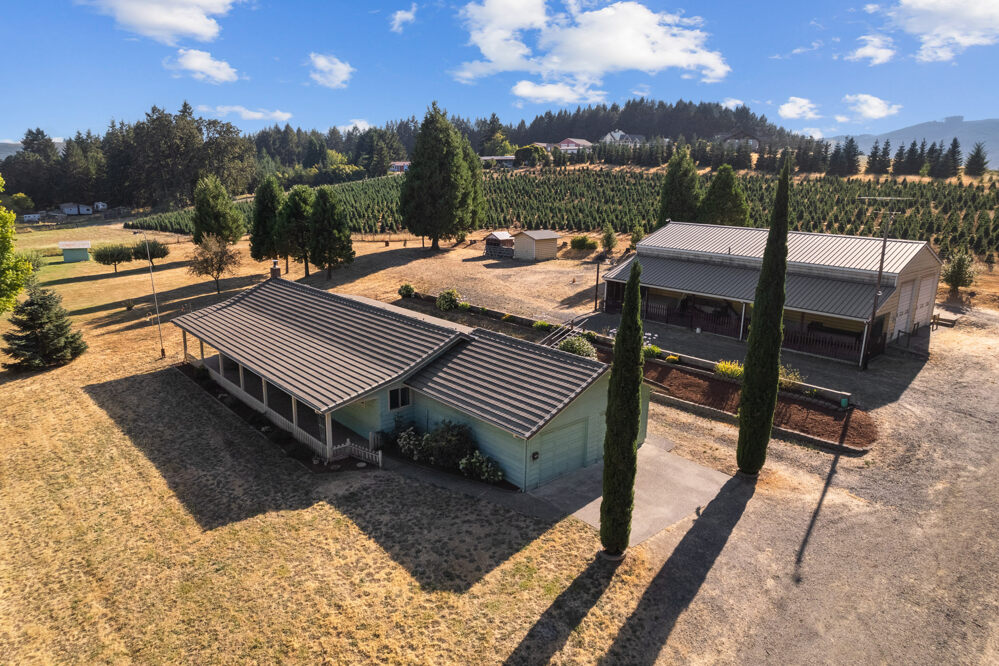
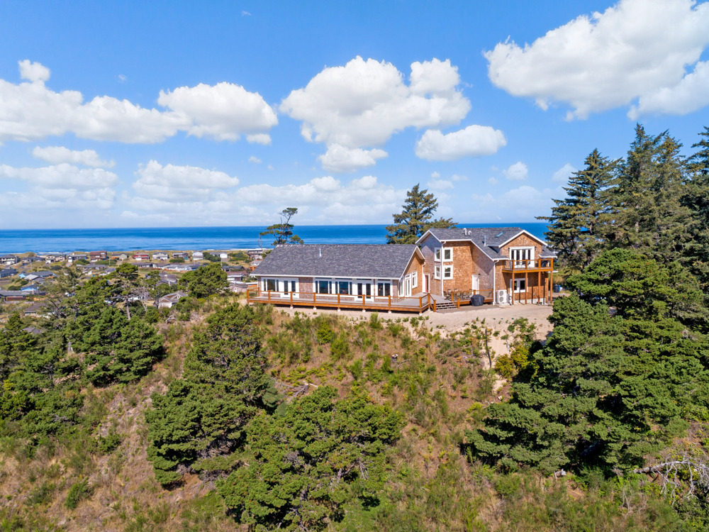
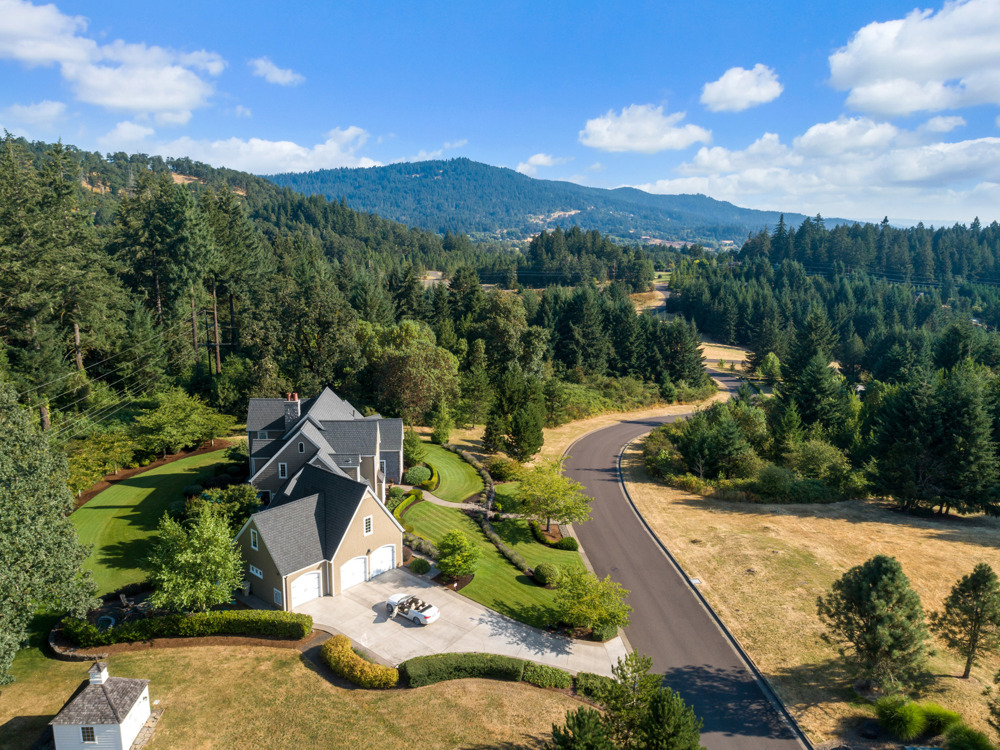
Show access, structures, and setting.
Land media can combine broad context with closer views of the improvements already on the property.
Choose the acreage range that fits the property.
Every tier includes aerial and ground-level drone imagery plus lot boundary graphics.
Swipe horizontally to view every acreage tier.
| Lot size | Photography | Delivered coverage |
|---|---|---|
| 1 acre or less | $150 | Up to 25 photos |
| 1 to 5 acres | $175 | Up to 35 photos |
| 5 to 10 acres | $200 | Up to 35 photos |
| 10 to 20 acres | $225 | Up to 45 photos |
| 20 to 50 acres | $250 | Up to 45 photos |
| 50 to 100 acres | $300 | Up to 55 photos |
| 100 to 200 acres | $350 | Up to 55 photos |
The acreage sets the base. The property sets the story.
Why acreage matters
Larger properties need more flight planning, viewpoints, onsite time, and finished images. Select the acreage range that represents the full property.
Why the booking cart is final
The live land cart presents current options, photographer availability, applicable travel fees, and the final order total.
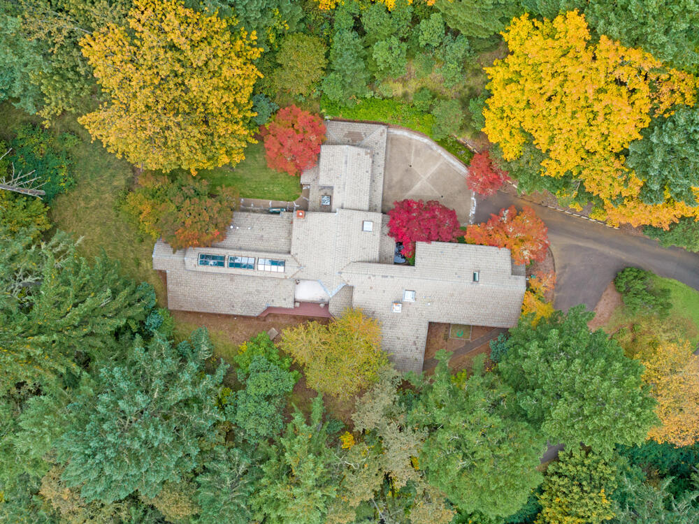
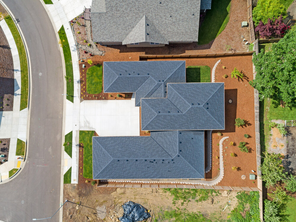
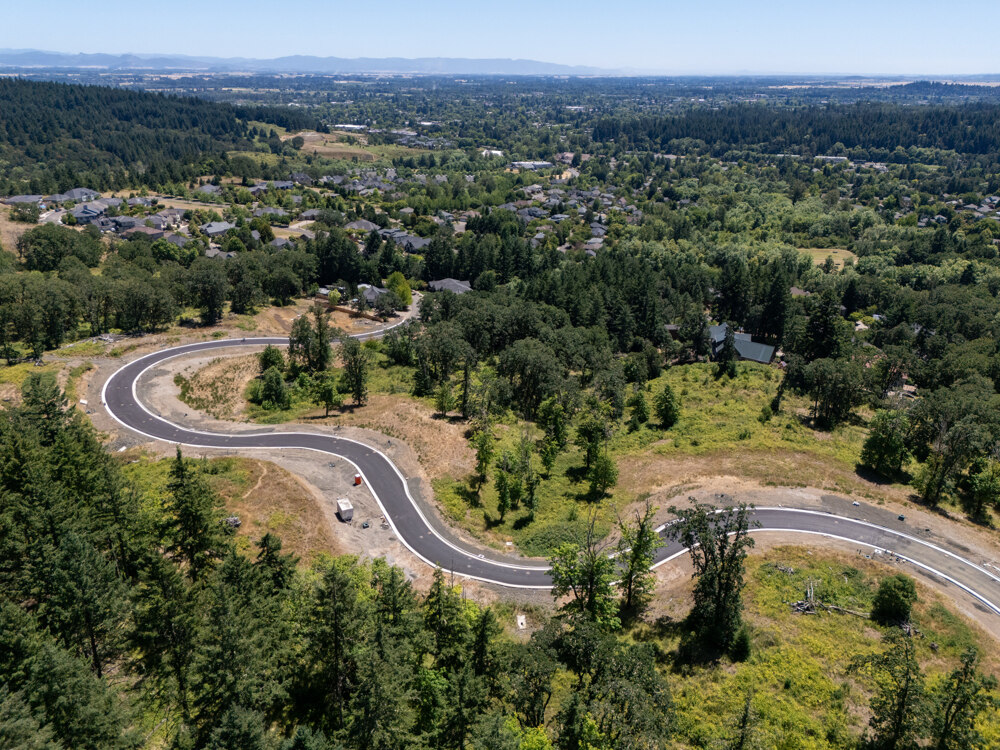
Use the viewpoint that explains the land.
Top-down and angled aerial photographs reveal boundaries, access, terrain, and nearby development.
What land sellers and agents ask before booking.
What is included in land photography?
The live land cart includes aerial and ground-level drone imagery plus lot boundary graphics. The number of finished photos increases with acreage.
How is the price selected?
Choose the acreage range that matches the property. The live cart displays the current price and calculates the final order total.
Can I add video?
Yes. A one-to-two-minute land highlight video is currently available as an add-on in the land booking cart.
What if the land is larger than 200 acres?
Use the booking system or contact Realiant Photography so the project can be reviewed before scheduling.
Choose the acreage and build the land media order.
Enter the property information, confirm the acreage, and select photography, video, or structure coverage in the dedicated land cart.
Price Your Land Project