
Aerial Drone Photography or Video for Real Estate
Aerial drone photography & video are an essential part of modern real estate listings. They give the homebuyer different views that highlight key aspects of the house and the surrounding areas. Let us take quality drone photography that enhances your listings!

Without Drone Photography
CLICK "WITH DRONE" TO SEE BEFORE AND AFTER
Without drone photography, a real estate agent will have to find creative ways to get visually aesthetic pictures for their main feature image to get potential buyers to click. This search leads to wasting time and having their listing live longer on sites due to the lack of clicks.
If a client happens to click on a listing, the real estate agent will have to highlight the experience of living n the house and the environment from a first-person view. With photography alone, this is hard because the angles you can shoot are limited.
Common pitfalls that real estates agents fall into is taking the fastest way to get their listing online. In comparison, it does speed up the process and gets the house in front of buyers sooner. But, unfortunately, it does nothing to increase the chances that buyers will click on your listing.
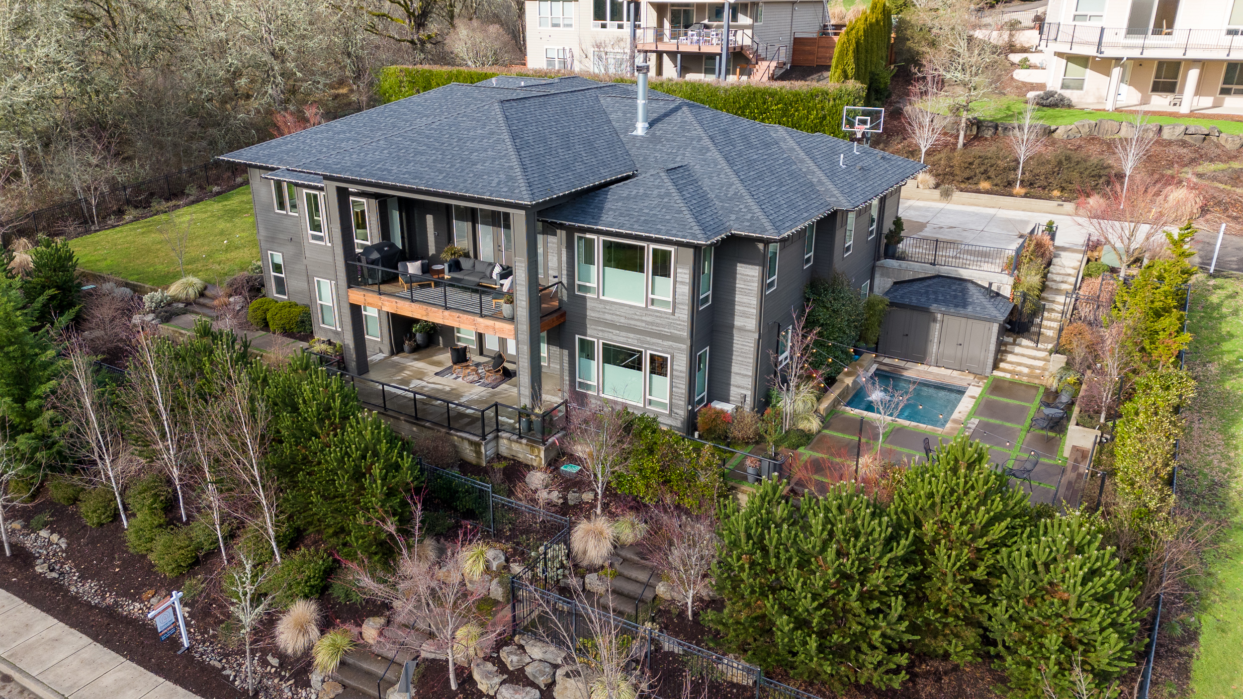
If you are selling a property with no construction without aerial views, you are selling a picture of dirt. You cannot show a homebuyer the view from what a two-story building would look like or show the overall property size.


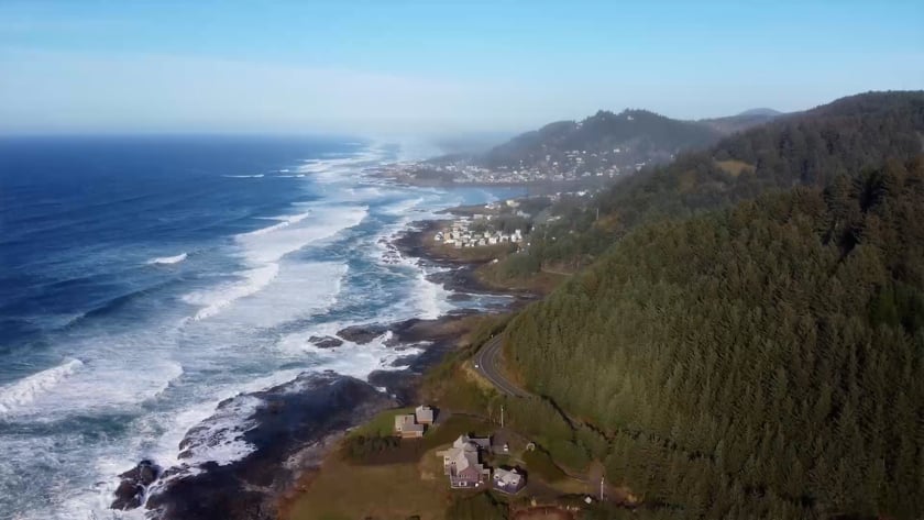
This photo attempts to capture both the ocean and the house in the same frame. Unfortunately, it does not fully succeed, and as a result neither element—the ocean nor the house—is highlighted as effectively as it could have been.
A vacant lot property cannot be effectively shown without the use of a drone.
Inserting a Google Earth screenshot tells people that you cut corners in your marketing.
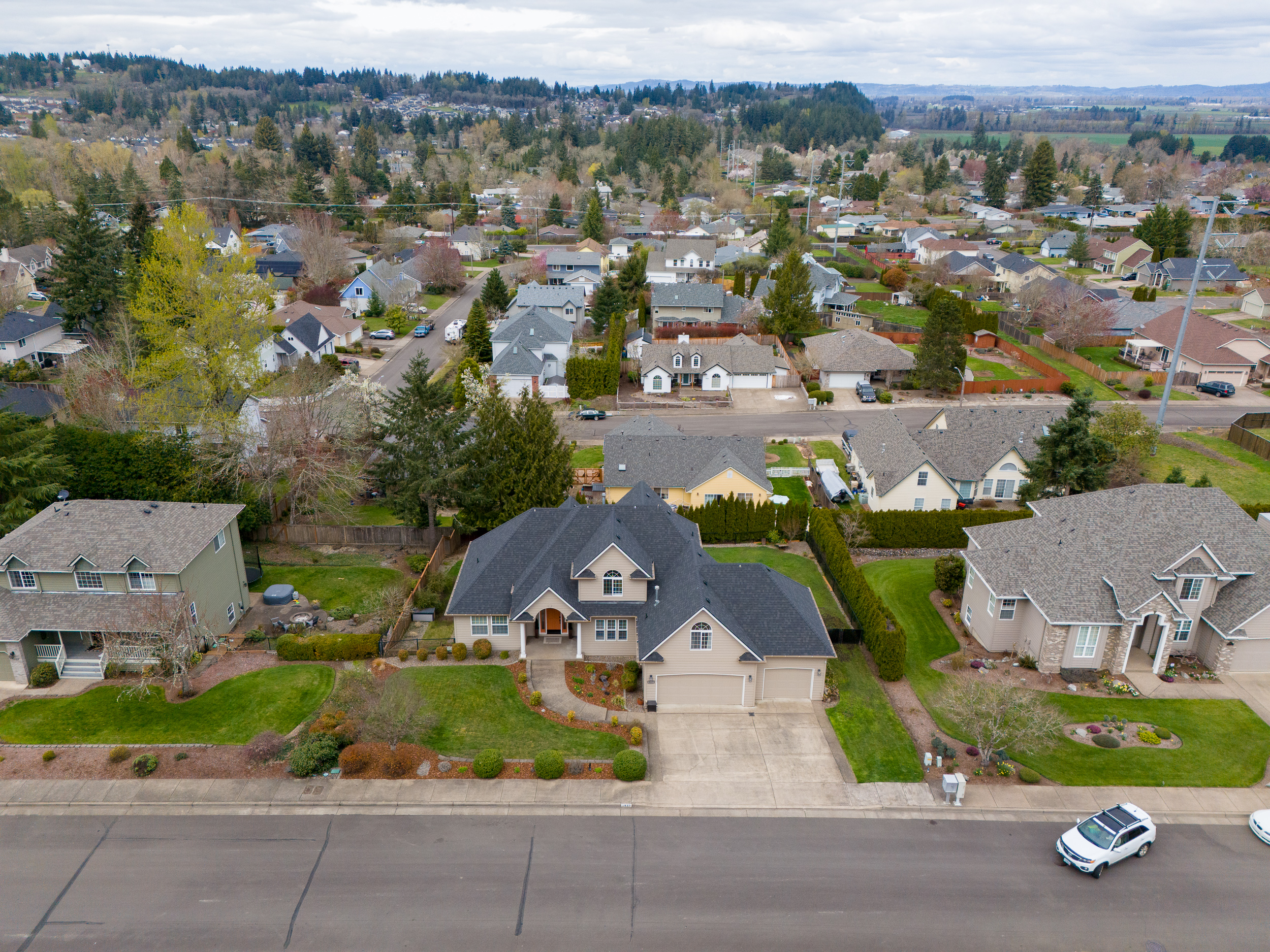
A first-person photograph cannot capture the entire house from a high enough vantage point.
Google Maps not attractive
Google Maps imagery becomes blurry when you zoom in close enough to clearly show the full property.
Google Maps not attractive
Can't get high enough to show house
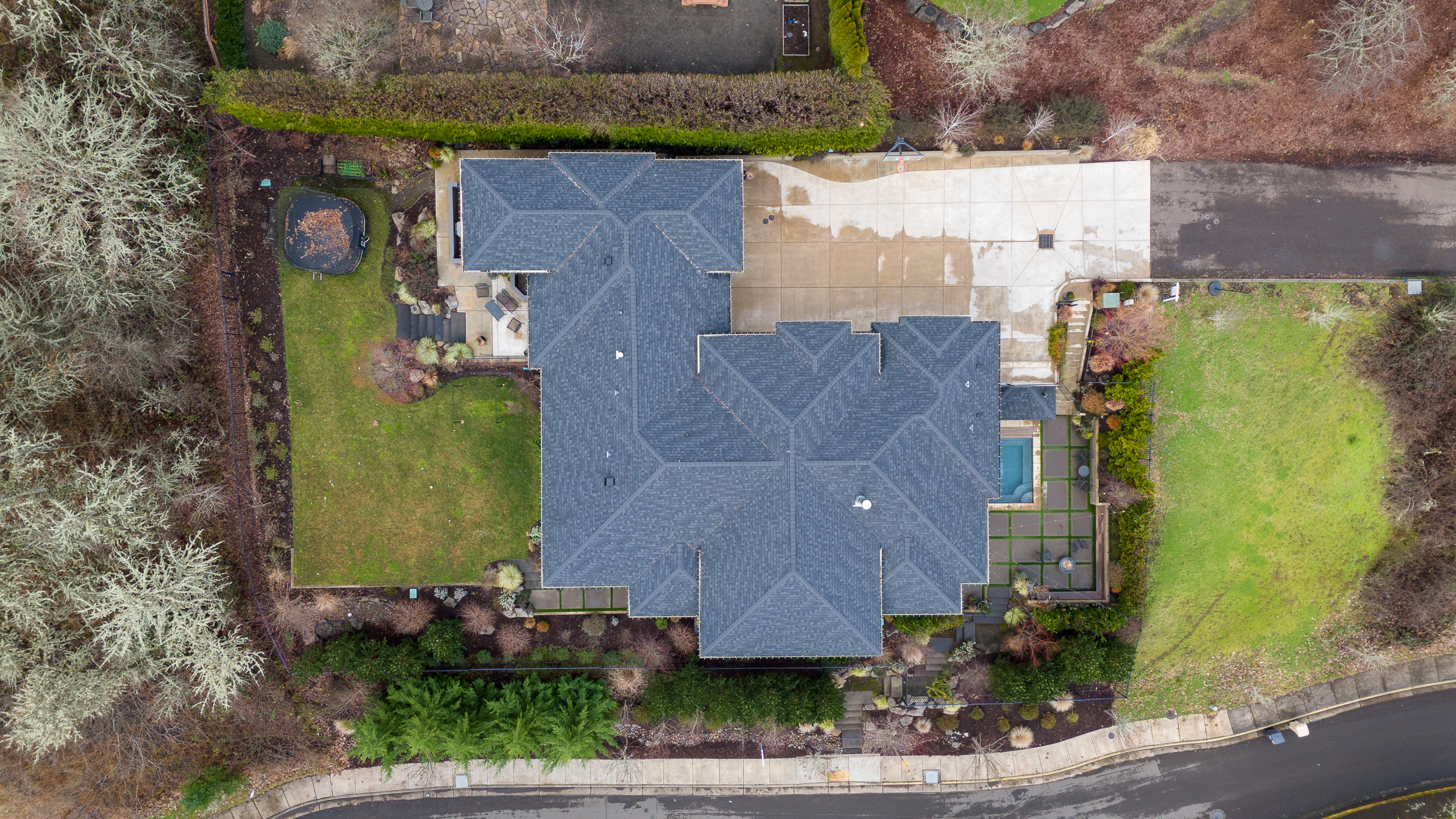
Doesn't show full lot
Doesn't show enough of both ocean and house
Blurry Google Maps property view
CLICK "WITH DRONE" SEE BEFORE AND AFTER


Increase Land Property Listing Clicks
Selling a property without construction is problematic because it is simply land. Before aerial real estate photography, there was no way to highlight certain aspects of a plot of land. Now you can show three super essential features that the homebuyer is looking for.
This is important because it lets the house buyer see the whole property without a calculated sheet of paper.


