Land & Drone Photography

A Clearer View of Your Land.

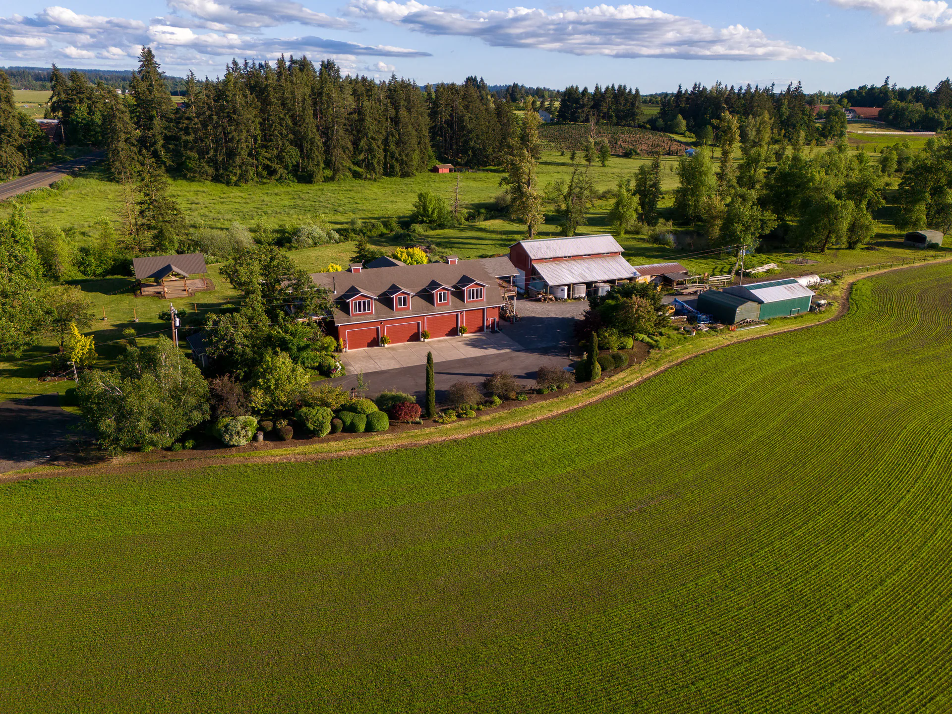
Use aerial and lower drone views to show how the property sits in its surroundings. Add exterior photographs when buildings or other visible structures need attention.

Book Land Media Available on the full site.Compare Land Coverage
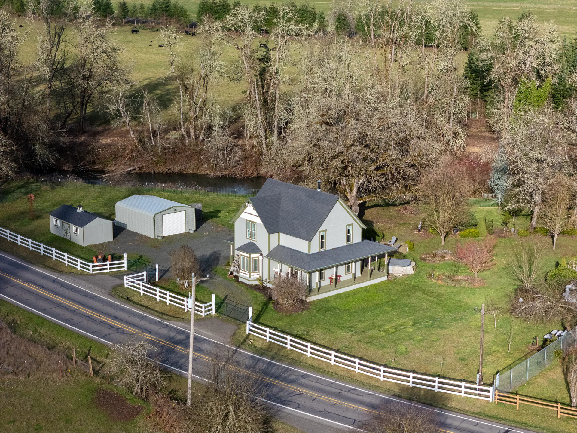
Elevated view of a white house with porch, outbuildings, white fence, road, lawn, and water behind trees.

The closer view and the wider setting

The Landscape and the Closer Details.

From above, buyers can see the wider landscape. Closer views show the terrain and visible access.

We use drone photographs at different heights to show both the land and its setting.

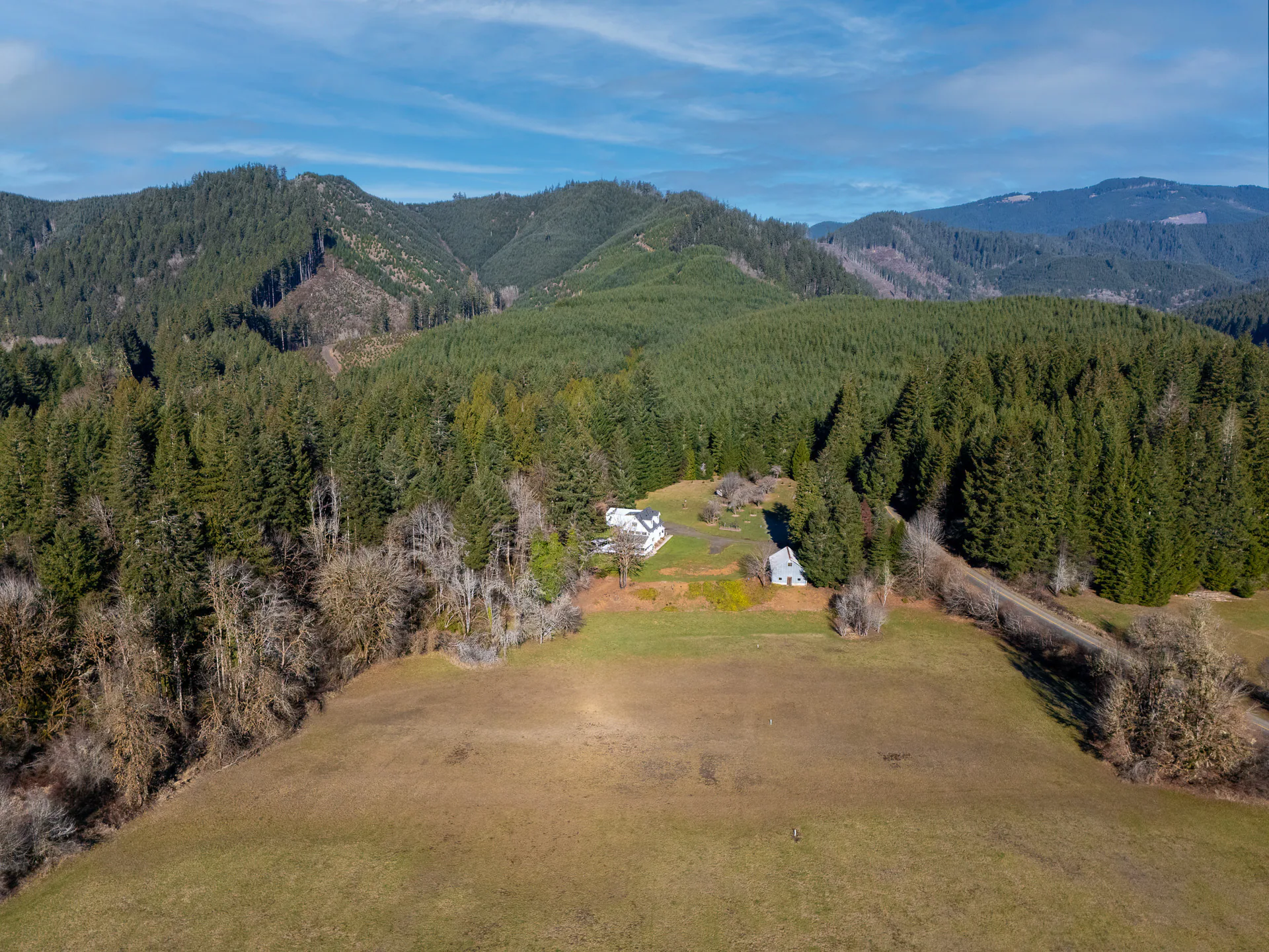
Aerial view over a grassy field toward a house tucked among evergreens and layered forested hills.

Core land photography

Land Drone Photography

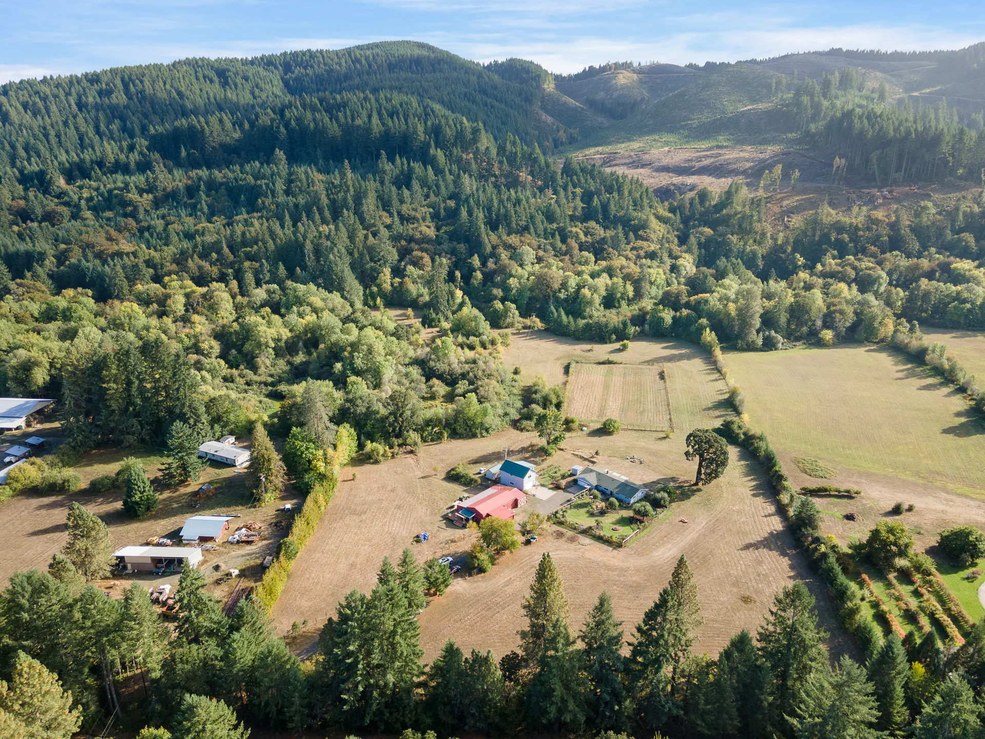
Wide aerial view of a rural property with small buildings and fields in the foreground, framed by dense trees and forested hills beyond.

The Parcel in Its Surroundings

Aerial and closer still views sit at the center of land coverage. Included boundary overlays use an agent reference or available GIS information to orient viewers.

Send your preferred boundary reference when planning the shoot. The overlay helps people follow the property in a photograph; it is illustrative, rather than a survey.

Photographs and boundary graphics do not establish legal access, a buildable site or approval for development.
Explore Land Drone Photography

Additional attention for visible buildings

Exterior Structure Photos

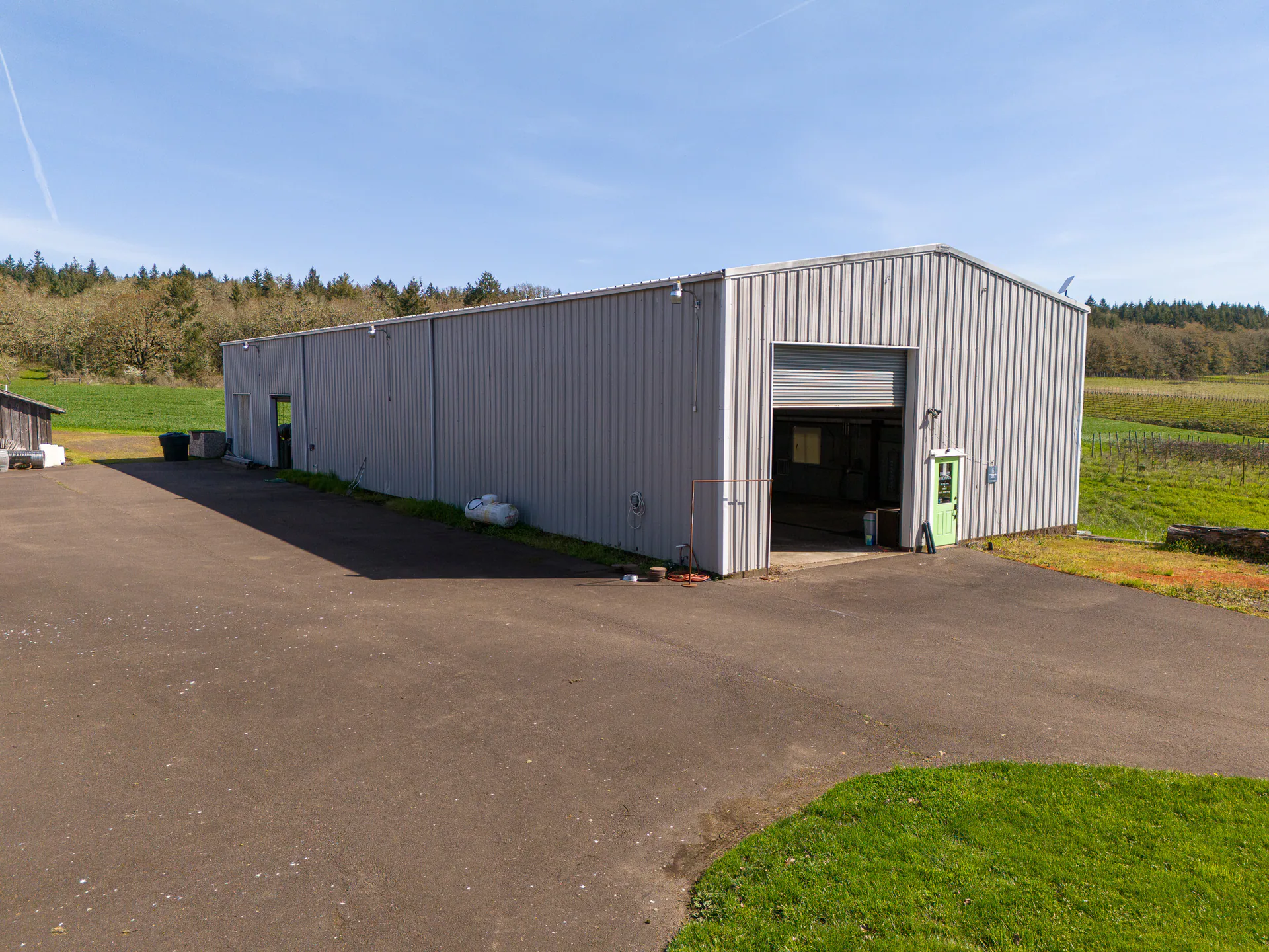
Long light-gray metal building with an open overhead doorway facing a wide paved yard and surrounding grass.

A Closer Look at the Buildings

If buildings or other visible structures are part of the property, discuss additional exterior photographs.

Tell us which structures need attention and what you want viewers to notice.

These are exterior photographs. Discuss any different scope with us rather than assuming this choice includes interiors or a condition inspection.

Explore Exterior Structure Photos

Coverage shaped around the parcel

Compare Acreage and Structure Additions

The land acreage selection determines core coverage and price. Structure photographs are a separate addition at $35 per structure. The Land form shows your image allowance, travel and full total.

Select a column or feature to highlight it. Select again or press Escape to clear. Scroll sideways on smaller screens.

Core land photography and the separate exterior structure addition
What to consider
Show the acreage, terrain and settingGive visible buildings closer attention
High, low and intermediate drone viewpointsExterior photographs
Illustrative overlays includedDiscuss the buildings you want photographed
Selected land acreage option, $150–$350$35 per structure, for 1 to 10 structures
Varies with the acreage optionShown in the Land form for each structure

Land photography

Choose the Acreage Coverage

By acreage $150–$350

Have the parcel acreage ready.

  • Drone photographs from different viewpoints
  • Illustrative agent/GIS boundary graphics
  • Choose coverage for your parcel acreage
Start Your Land Order Available on the full site.

Additional exterior photographs

Add Structure Coverage Where It Helps

Per structure $35

  • Photos only, with no structure video
  • 1 to 10 structures
  • Discuss the visible buildings that matter to the listing
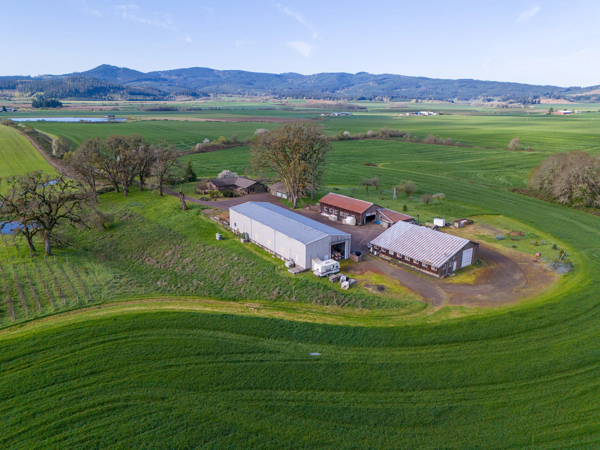
Aerial view of a cluster of light-roofed agricultural buildings surrounded by curved green fields, with mountains in the distance.
Start Your Land Order Available on the full site.

For acreage outside the listed choices or a different scope, talk with us. A 5-acre parcel falls in the 1–5 choice; for a parcel exactly on another boundary, ask us which to pick.

Plan around this property

Let’s Plan Your Land Photographs.

Tell us about the parcel, visible access and structures that need attention. Include your boundary reference when planning the shoot, then use the Land form for the applicable coverage.

Need the photographs for a particular date? Contact us before ordering to confirm timing and availability.

A driveway and landscaped grounds in a Realiant property photograph.

Book Land Media Available on the full site.Discuss Your Land Photographs Available on the full site.