Land & Drone Photography
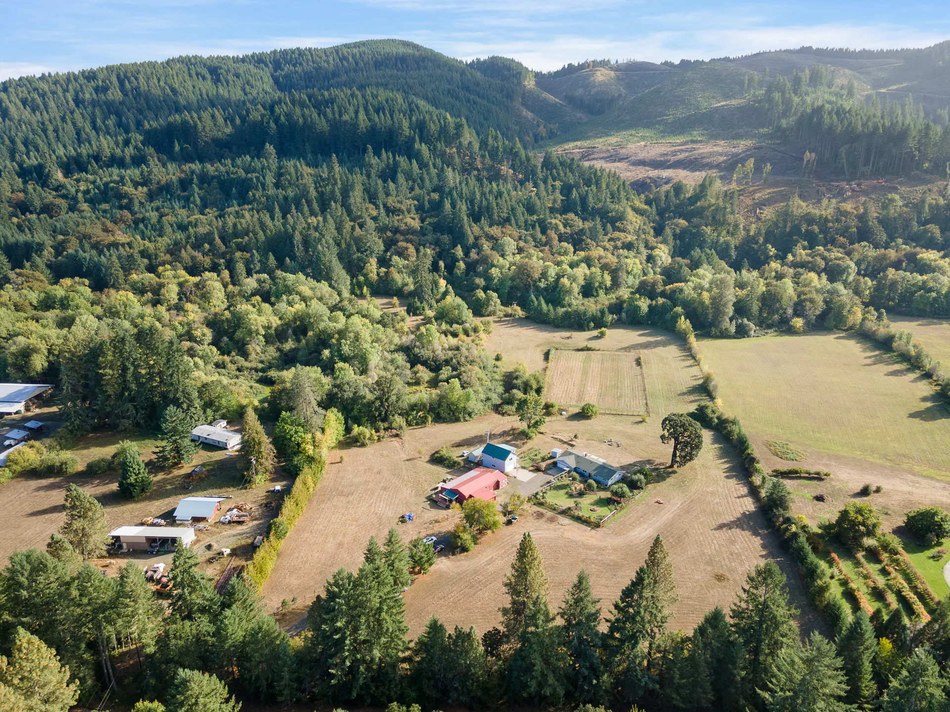
Connect the visible features with the wider setting through high, low and intermediate drone viewpoints. Illustrative boundary overlays are included.

Land photography and media
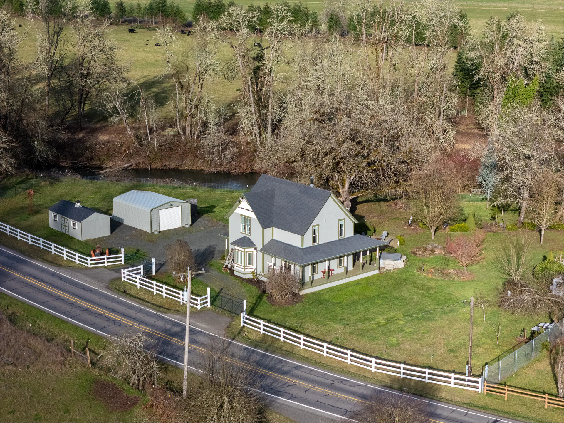
Help buyers see the land, visible access and the setting around it. Drone photos connect those views; video or closer photos of buildings can add detail where you need it.
From the parcel to its surroundings
Higher views show where the property sits. Lower and intermediate viewpoints bring visible terrain, features and access into focus. Together, they help buyers picture the property before a visit.
We use the drone at different heights to connect those views. Tell us which features you want people to notice, whether that is a clearing, a slope or the way the property meets the surrounding landscape.
Still images, motion and improvements
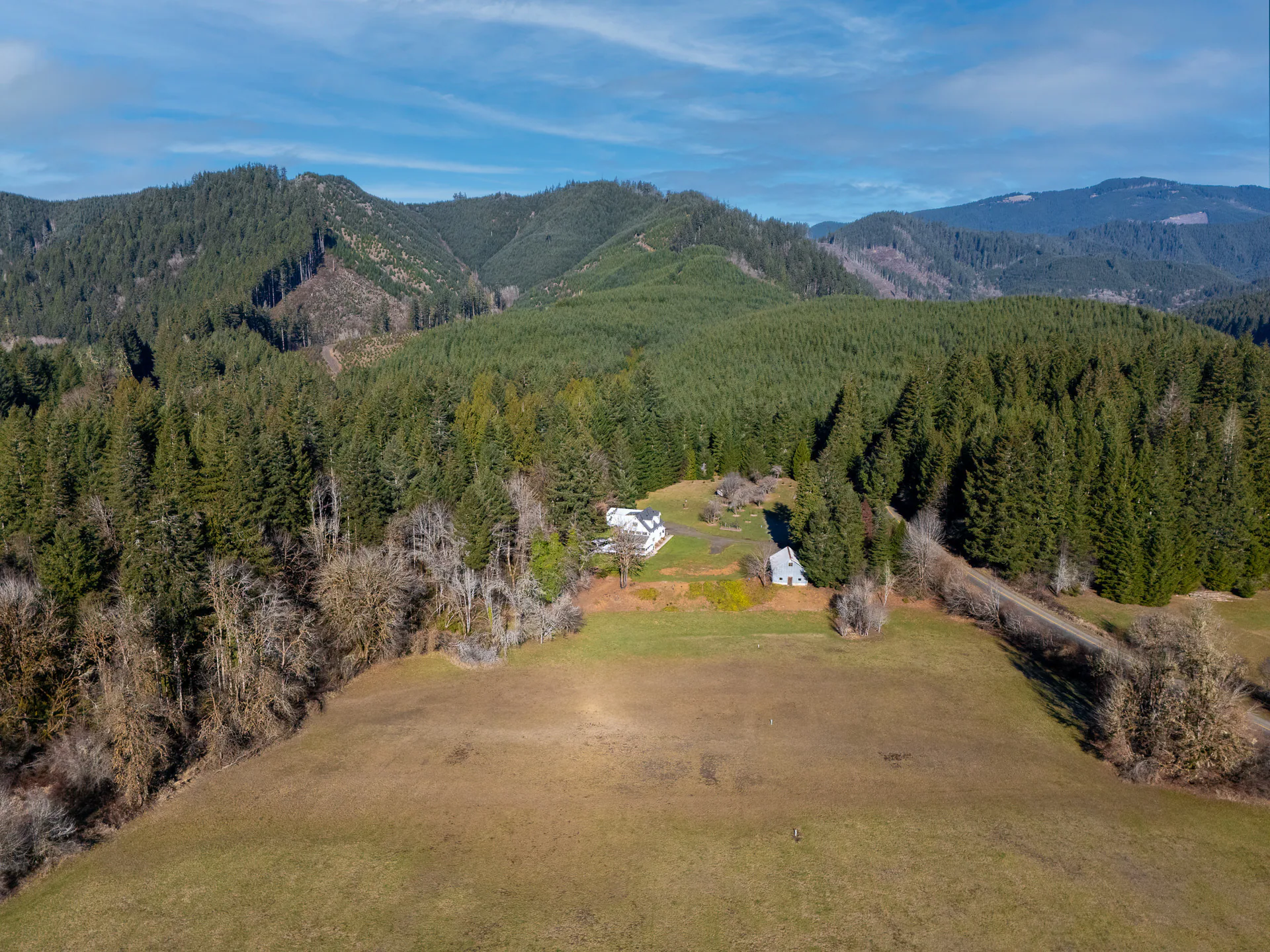
Land & Drone Photography shows the acreage and setting in still images. Land Videos can connect terrain and features in motion. Choose additional exterior structure photos when visible buildings need closer attention.
Connect the visible features with the wider setting through high, low and intermediate drone viewpoints. Illustrative boundary overlays are included.
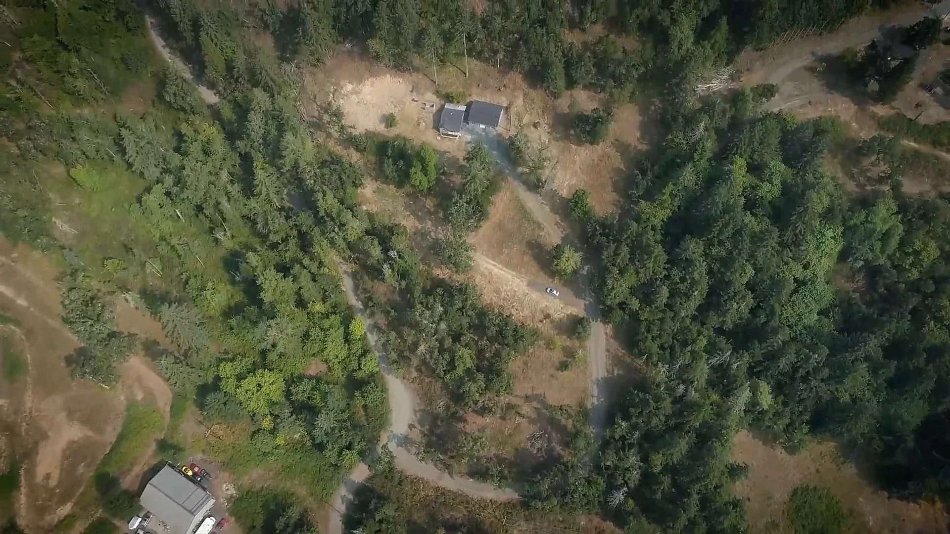
A river, a change in terrain or a broad view may be easier to follow in motion. Add a Land Highlight Video when it contributes something useful beside the photographs.
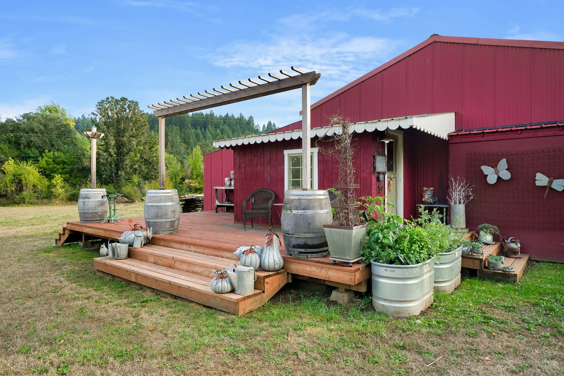
Give visible buildings closer attention with exterior photographs.
A helpful visual reference
Boundary overlays are included with land photography. Share an agent-provided reference, or we can use available GIS information where needed. The lines help orient viewers and are illustrative rather than a property survey.
Photographs and boundary graphics do not establish legal access, easements and buildability.
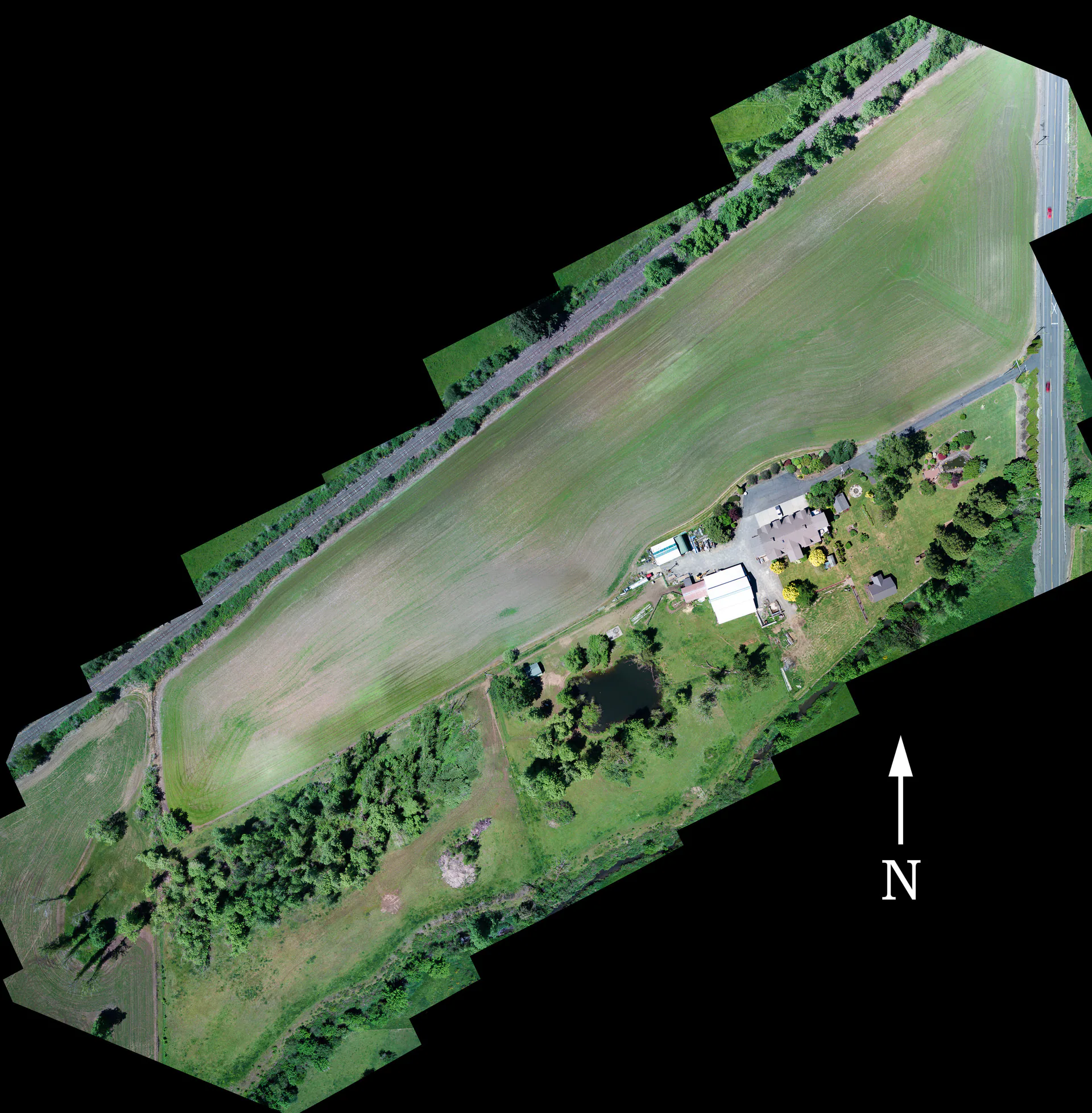
Land acreage and additions
Select the land acreage option that fits the parcel. The applicable option determines coverage and price; travel and selected additions can affect the final total. Contact us about acreage outside the listed choices.
The Land form lists seven acreage choices: 1 acre or less, 1–5, 5–10, 10–20, 20–50, 50–100 and 100–200 acres. A 5-acre parcel falls in the 1–5 choice; for a parcel exactly on another boundary, ask us which to pick.
Select a column or feature to highlight it. Select again or press Escape to clear. Scroll sideways on smaller screens.
| Media option | ||
|---|---|---|
| High, low and intermediate drone views with illustrative boundary overlays | Parcel acreage and image allowance | |
| Motion to help explain terrain, views or a distinctive feature | Video addition to land photography | |
| Closer exterior photographs of visible buildings | Number of structures and photographs needed |
Not sure which coverage fits? Tell us the acreage and what you want buyers to see.
Land photography
By acreage $150–$350
The Land form shows the price and image allowance for your parcel’s acreage, then your final total.
Optional motion
Optional addition $150
Add motion alongside your land photographs.
Need closer views of buildings? Exterior Structure Photos is a photos-only addition: $35 per structure, for 1 to 10 structures. Same-day photo delivery depends on timing and availability; call before ordering to confirm it for your shoot.
Before the appointment
Share the property address, the acreage and your preferred boundary reference. Tell us which visible features matter to the listing and discuss access arrangements and any photo-delivery deadline.
Have the property location and acreage ready. Send the boundary reference you want us to use and let us know about any areas that need particular attention.
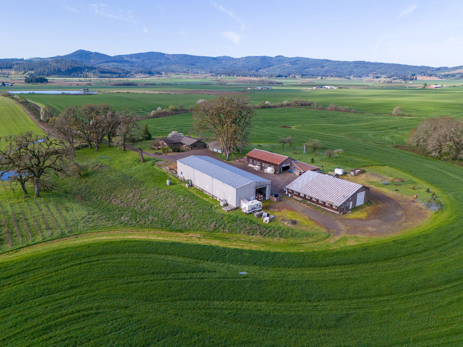
Tell us about visible roads, terrain, water or existing improvements that matter to the listing. Arrange access to the property before the appointment.
Discuss the date you need the photos and any video.
Planning a land listing date? Photos, video, floor plans and tours may be ready at different times. Call before placing your order to confirm whether your complete set of media can be ready for the date you need.
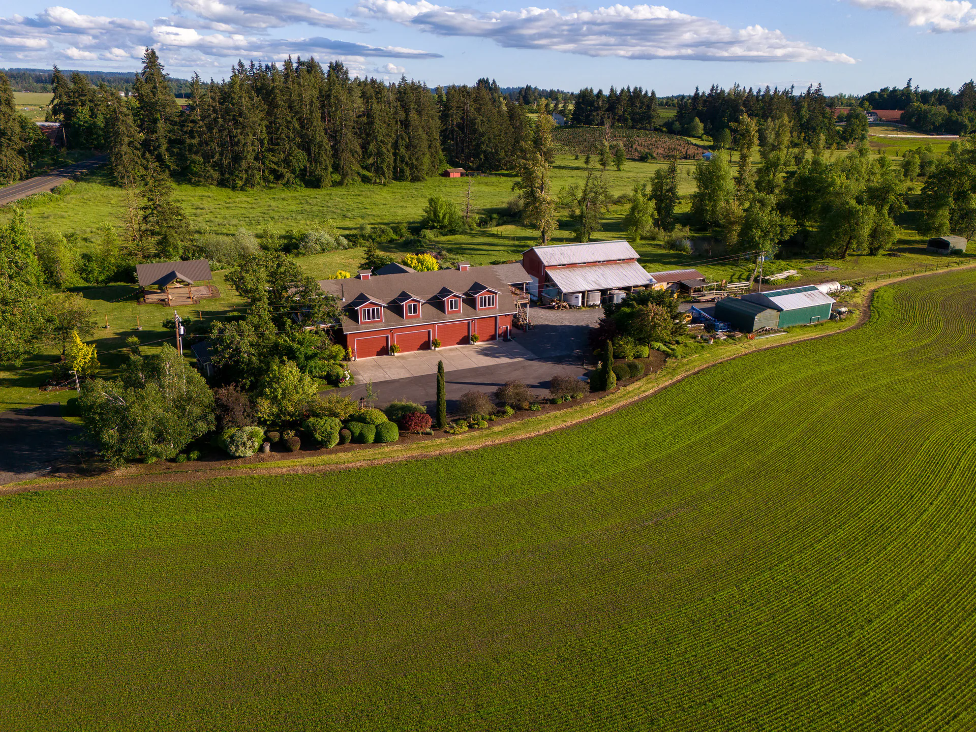
Tell us what people should understand
Choose your acreage and additions in the Land form. If the listed options don't fit, tell us about the property and we'll work out the coverage with you.