
Land Drone Photography

Your Land in Its Wider Setting.

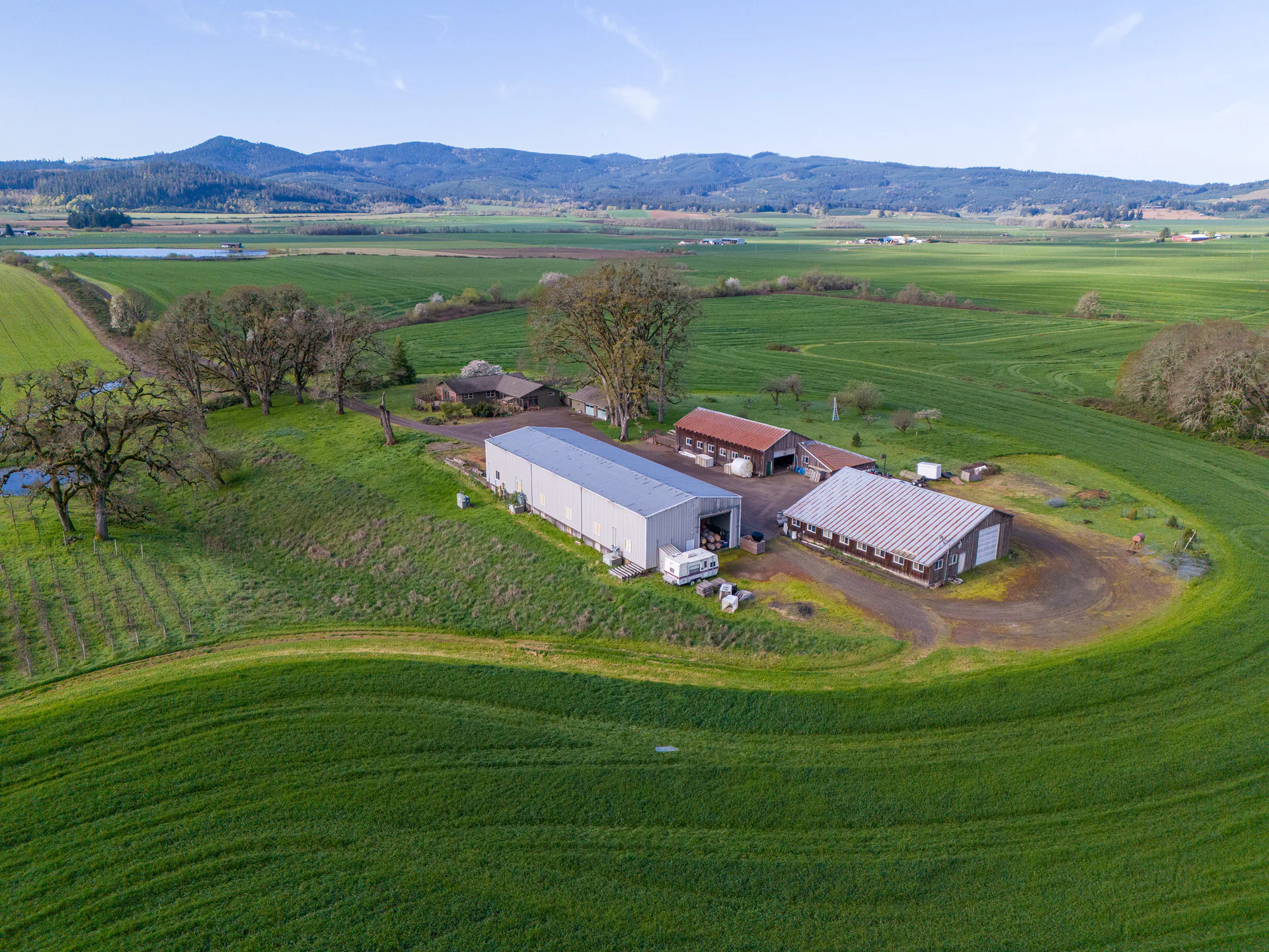
Drone photographs can show the parcel from above and closer to the ground, bringing the terrain, visible access and surroundings into one understandable collection.

Book Land Media Available on the full site.Compare Land Acreage Coverage
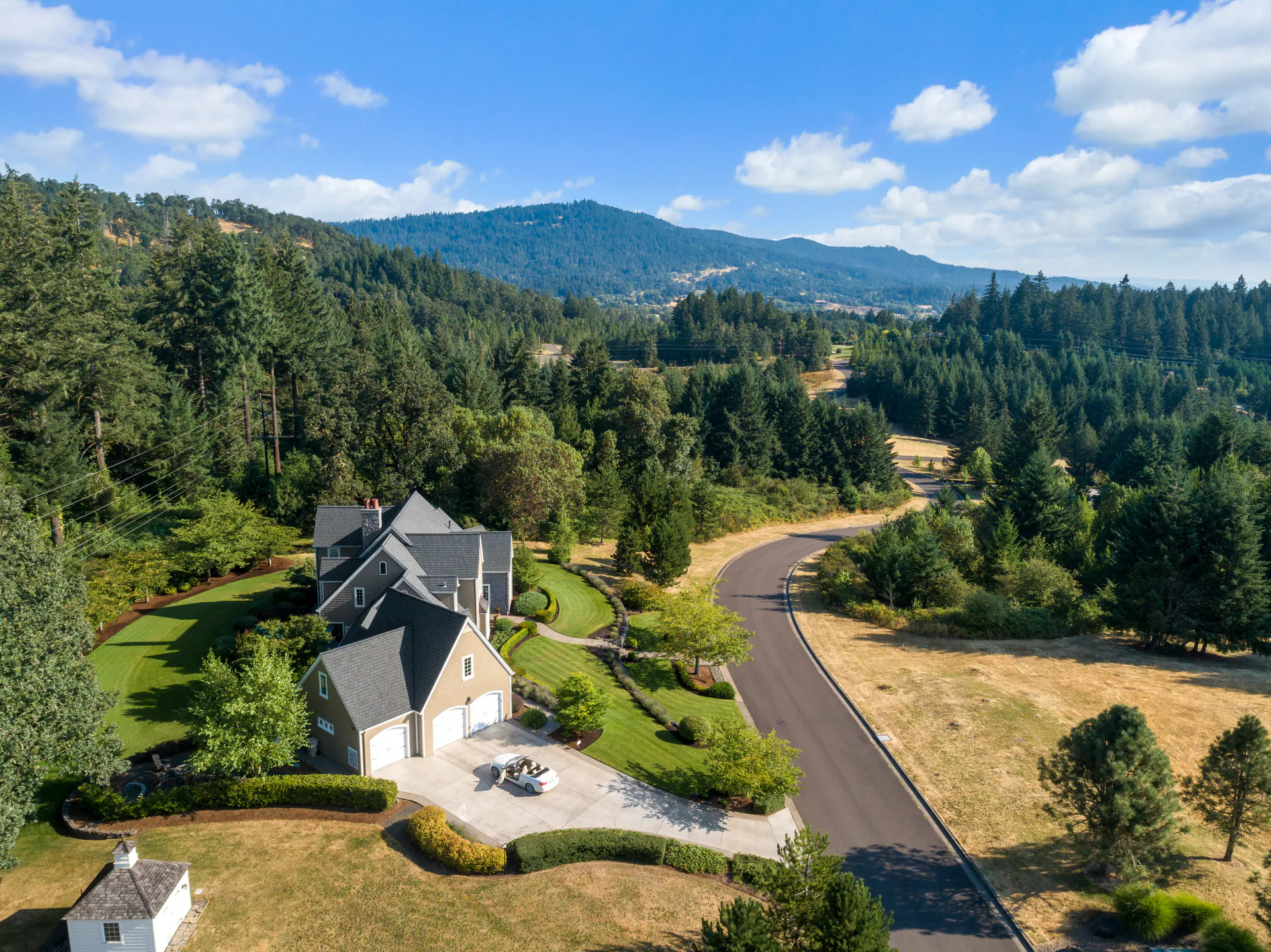
Aerial view of a large home, landscaped grounds and winding road surrounded by trees and distant hills.

The parcel and its surroundings

The Wider Landscape Comes First

A higher drone view puts the property in its surroundings. Visible roads, open ground and wooded areas give viewers context for the closer photographs that follow.

Tell us which features matter to this listing. We’ll plan the views around the details buyers should see and how they connect to the surrounding land.

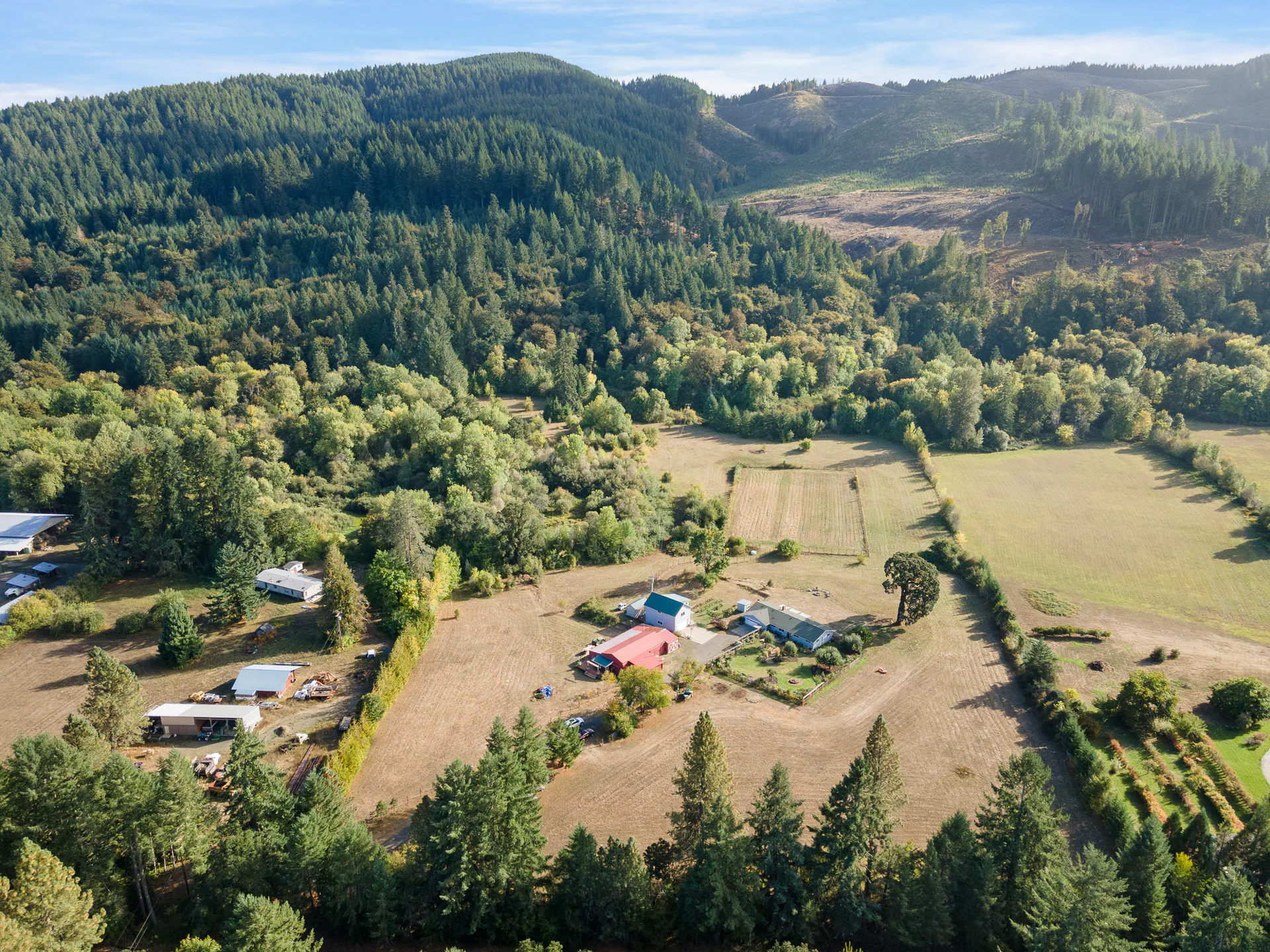
Wide aerial view of a rural property with small buildings and fields in the foreground, framed by dense trees and forested hills beyond.

High, low and intermediate viewpoints

The Terrain, Seen Up Close

Lower and intermediate drone viewpoints bring visible features closer. A change in terrain, a clearing or a route through the property can become easier to follow when those photographs sit beside the wider view.

We use the drone at high, low and intermediate positions. Tell us which features deserve attention so we can check flight feasibility and plan the coverage before your appointment.

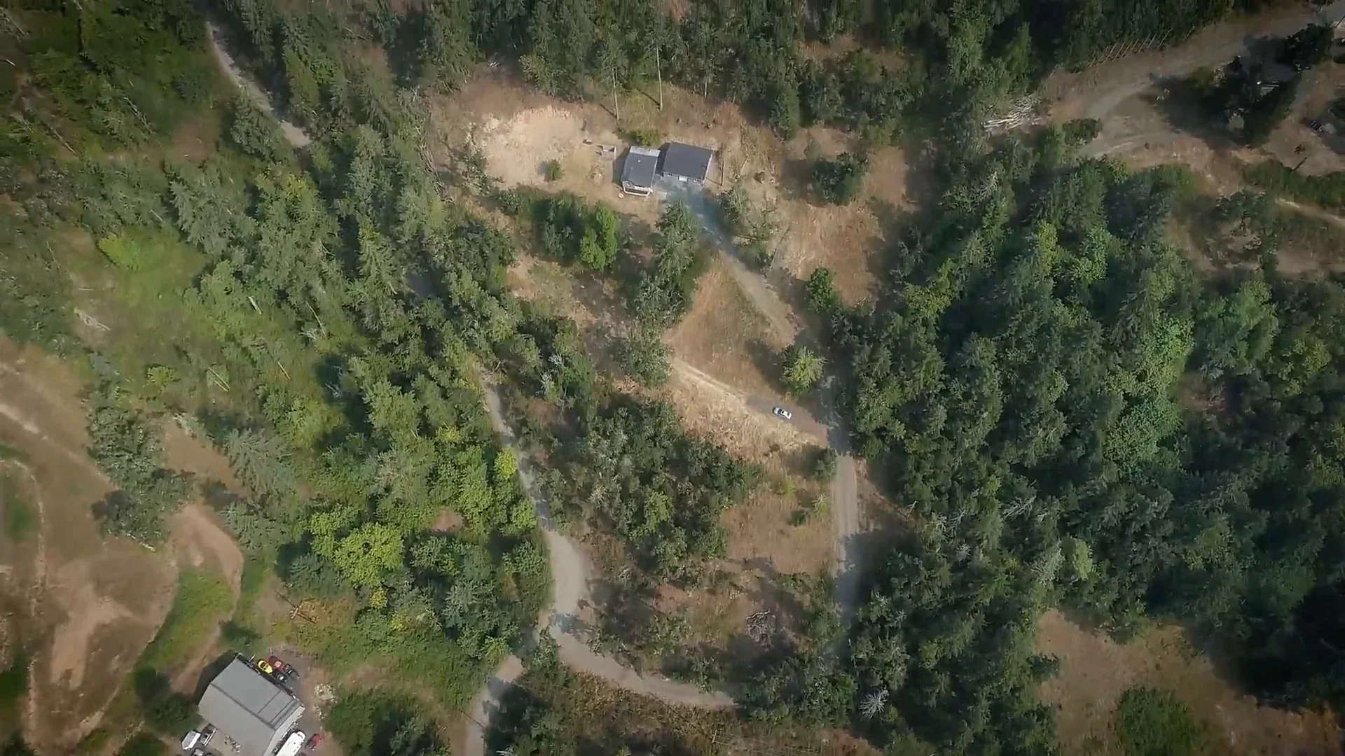
The example here is a frame from a Realiant land video, showing buildings and a visible road among trees.

Overhead view of wooded terrain with a winding dirt track and small buildings in clearings.

Illustrative lines, with a clear source

How the Boundary Reference Works

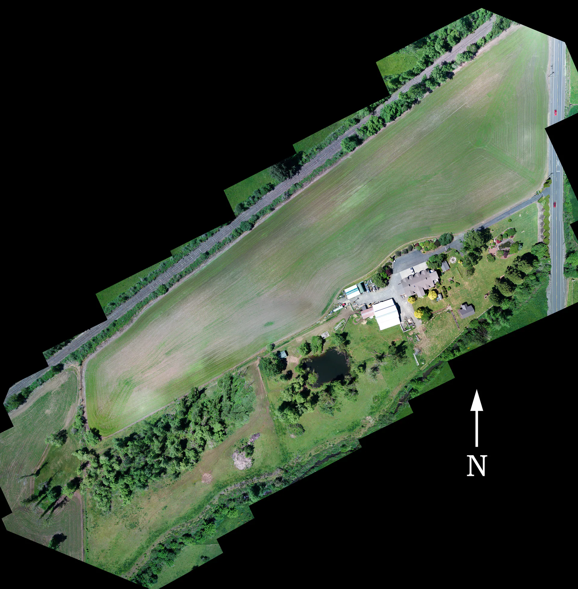
Boundary graphics are included with land photography. Share the agent’s preferred reference when planning the shoot; available GIS information can be used where needed. The lines help viewers orient themselves in the photograph.

These are illustrative overlays. They do not replace a survey, measure the parcel’s exact acreage or establish an easement, legal access or an approved building location.

Aerial property image on a black background showing a long field, buildings, tree lines, and north arrow.

Land coverage has its own acreage choices

Coverage for Your Parcel’s Acreage.

Land packages have their own acreage structure, separate from drone upgrades for a home or rental. Travel and selected additions may affect the final total.

The Land form lists 1 acre or less, 1–5, 5–10, 10–20, 20–50, 50–100 and 100–200 acres. A 5-acre parcel falls in the 1–5 choice; for a parcel exactly on another endpoint, ask us which to pick. For a parcel outside the listed choices, ask us about the scope.

Land drone photography

Connect the Close Views and the Setting

By acreage $150–$350

Have the parcel acreage ready. The Land form shows the price and image allowance for your acreage, then your final total.

  • High, low and intermediate drone viewpoints
  • Illustrative boundary graphics
  • Choose coverage for your parcel acreage
Start Your Land Order Available on the full site.

Before the shoot

Let’s Plan the Views of Your Land.

Share the address, acreage and preferred boundary reference. Tell us which visible features deserve attention and discuss access arrangements before the shoot. Ask about scope if the property falls outside the listed choices.

Need photographs for a particular date? Contact us before ordering to confirm timing and availability.

A driveway and surrounding grounds in a Realiant property photograph.

Book Land Media Available on the full site.Discuss Your Land Photographs Available on the full site.