
Drone photography
When Do Real Estate Listings Need Drone Photos?
Drone photos can help ordinary homes as well as acreage. See how a higher view handles steep lots, small yards, fence lines and the neighborhood around a listing.
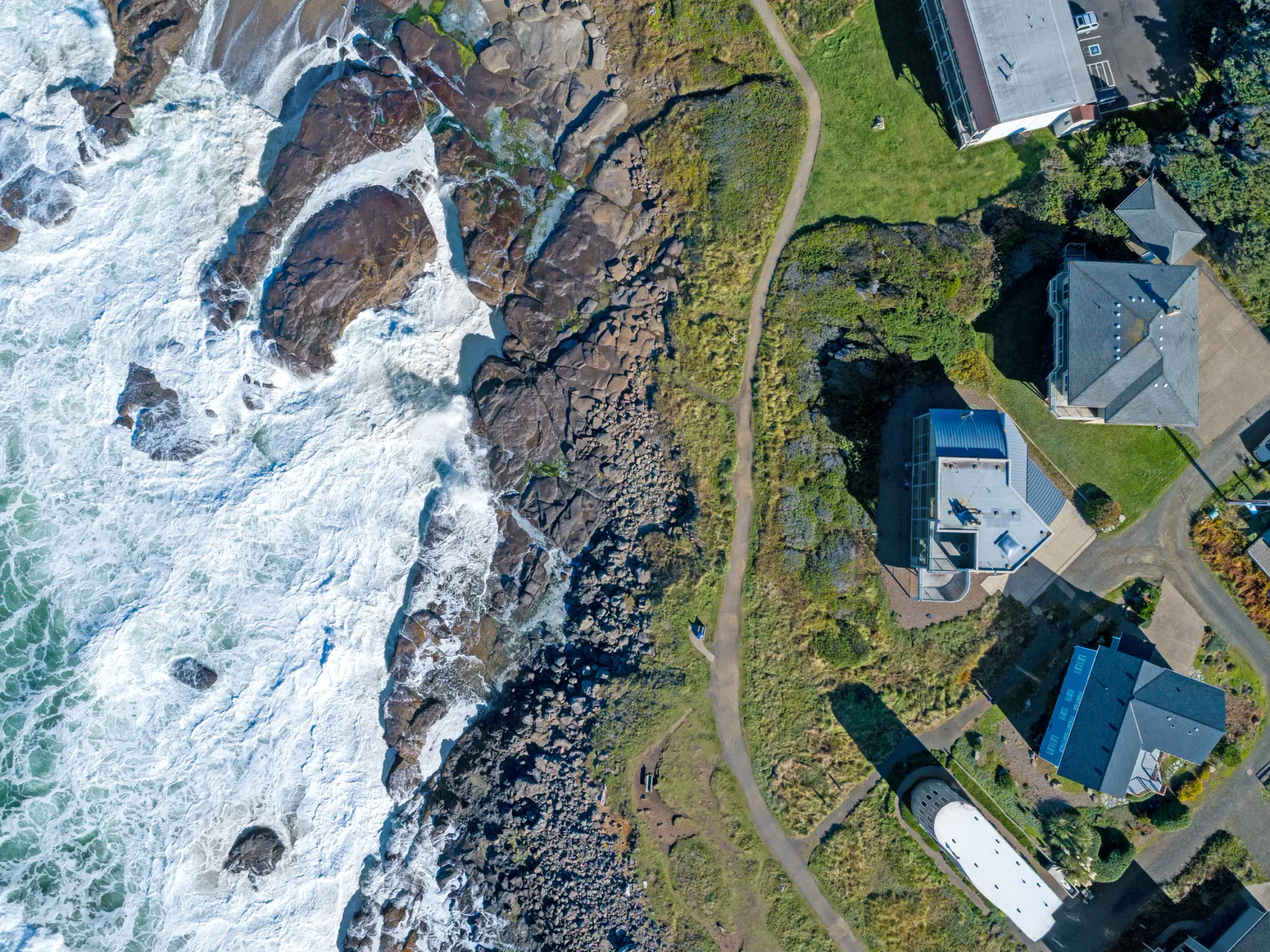
Drone Photography Should Answer a Property Question
Drone photography is an obvious choice for acreage, multiple buildings, and dramatic views. It can also help with ordinary homes when trees, slopes, driveways, fences, or neighboring features make the property difficult to explain from ground level.
Watch: When Drone Changes the View
The video compares ground-level limitations with angles that become possible when the camera can rise above landscaping, slopes, and other obstructions. It also shows how aerial context can help buyers understand outbuildings and the surrounding area. Any boundary overlay is illustrative, using the agent’s reference or available GIS information; it is not a survey or a legal boundary determination. The dated video’s reference to “exact” lot lines should be read with that limitation.
See the Idea in the Finished Media
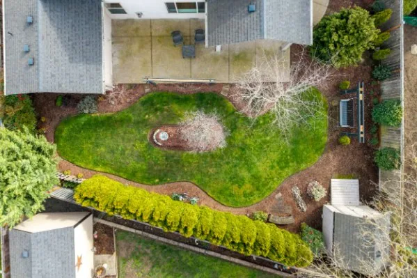
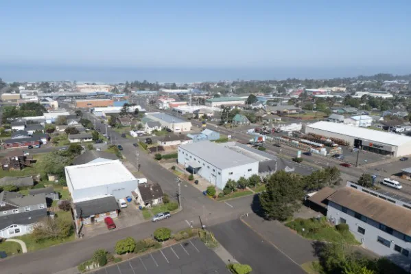
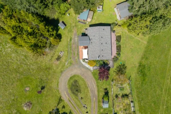
Aerial coverage can explain residential lots, commercial access, acreage, and the relationship between a property and its surroundings.
Why Height Helps Even a One-Story Home
From the ground, the camera looks up at even a one-story house. Most homes look best photographed from about their midpoint or a little higher, and a drone gets the camera there. On a small lot, a low aerial view can also show where the fence line runs and what the house backs onto.
Ask Realiant Photography whether drone media would materially improve the presentation of your specific listing.
What Can’t Buyers See from the Ground?
Share the address and the angles, access or surroundings buyers need to understand. We can help you decide whether aerial coverage adds useful context for this property.
This article reflects Realiant Photography’s May 28, 2026 newsletter. Confirm current services, availability, package details, and timing when booking.
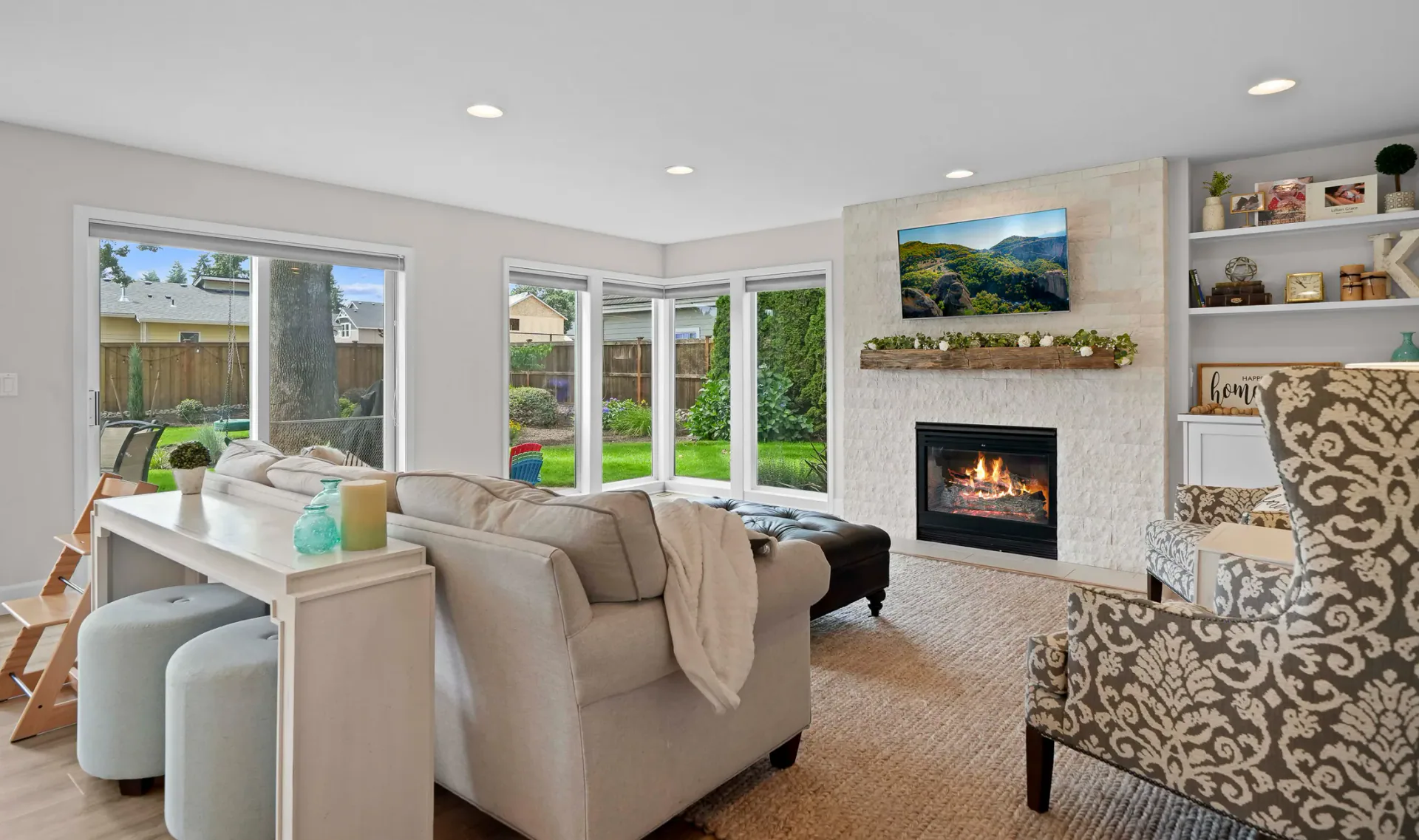
Listing media planning
Real Estate Listing Media Options
- Published
- TopicsMedia planning, Photography, Video, Drone
Match photos, video, plans, tours, and drone media to the property.
Read the Article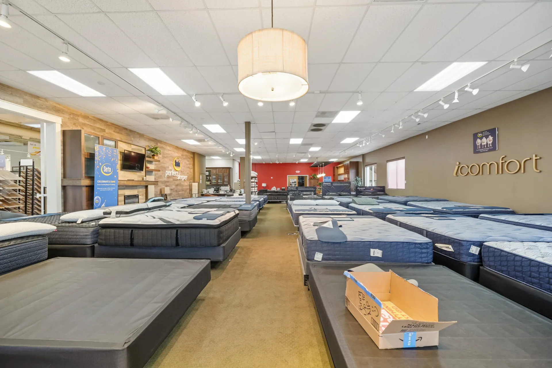
Commercial property media
Commercial Real Estate Photography: What Buyers Need to See
- Published
- TopicsCommercial property, Photography, Media planning
Show commercial buyers the building, signage, back lot and loading access before they visit, with photos, drone views, a 3D tour, video and floor plans.
Read the Article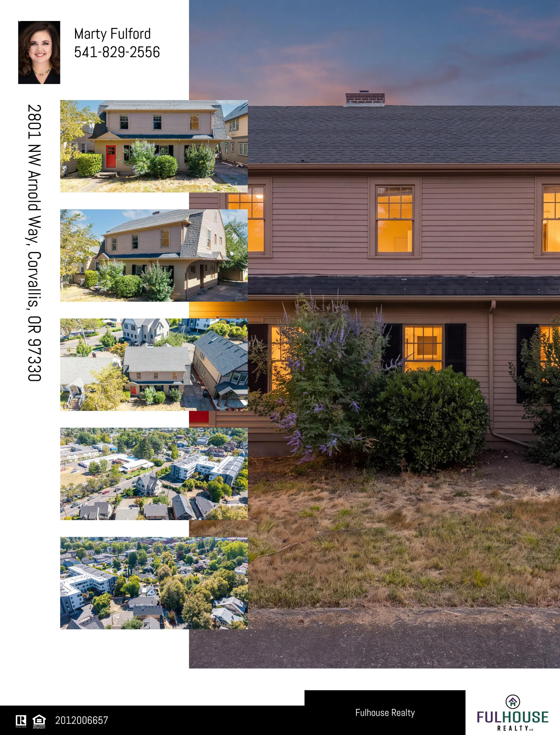
Listing marketing
A Real Estate Listing Marketing Kit Agents Can Use
- Published
- TopicsAgent marketing, Media planning, Photography
Use the listing photographs in a property website and prepared materials you can share.
Read the Article